












Hidden Ontario: Port Albert
“Where the Nine Mile River Meets Lake Huron”
Port Albert • Huron County • Ontario’s West Coast (Huron Region)

Snapshot
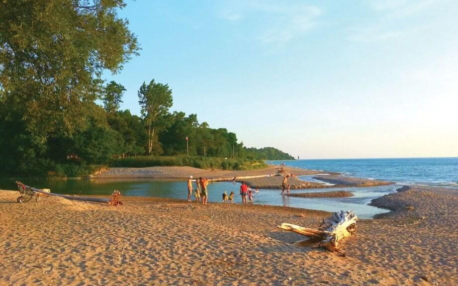
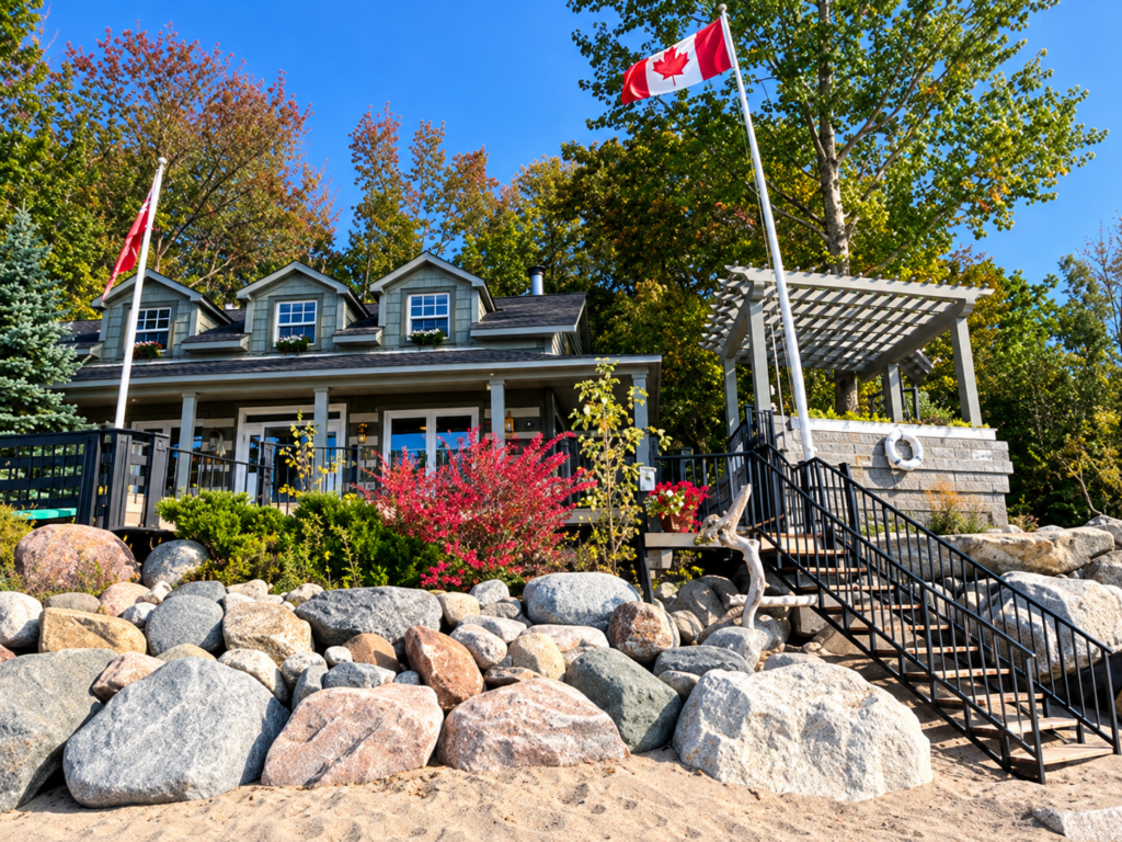
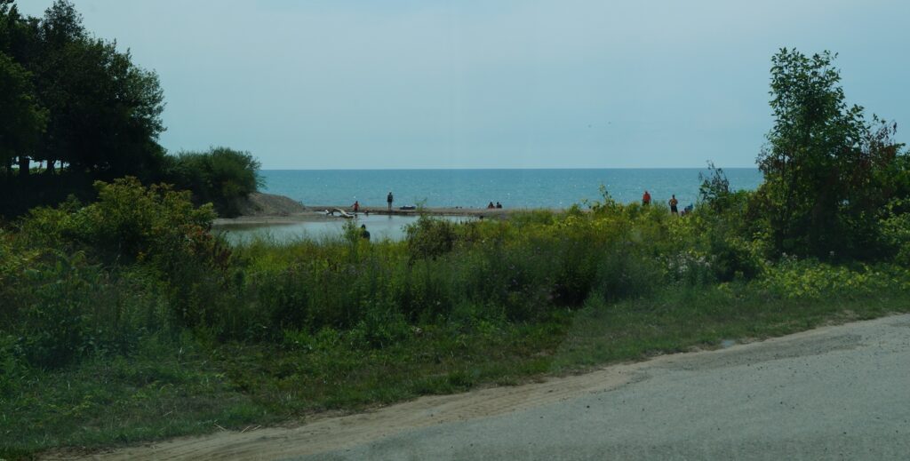
Tucked along the Lake Huron shoreline, north of Goderich, Port Albert is one of those small Ontario communities where history, nature, and everyday village life come together.
At the mouth of the Nine Mile River, this quiet settlement has a story much larger than its size might suggest. Once a place of sawmills, lumber shipments, local businesses, and lively waterfront activity, Port Albert has evolved into a peaceful destination for visitors seeking scenic beauty, local history, and a slower pace.
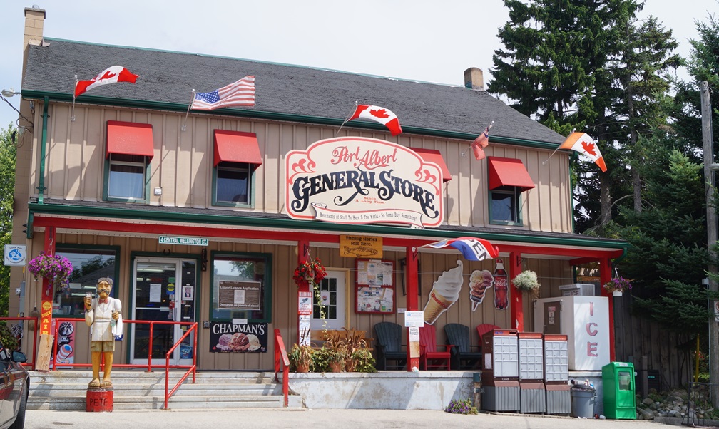
Today, visitors can discover the Port Albert Fishway, explore the village, stop at the historic general store, and enjoy the Lake Huron shoreline. Behind these attractions lies a history of hardworking families, close friendships, and generations of community traditions.
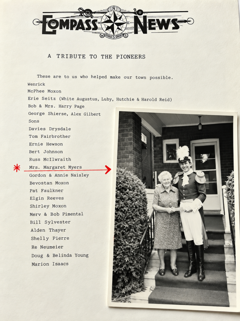
And thanks to the recollections of Mrs. Margaret Myers, recorded by Frank R. Gardiner, we can also glimpse what life was like when Port Albert was a bustling little village where almost everyone knew their neighbours.
🧭 Visitor Experience
| Information | Details |
| 📍 Location | Port Albert, Township of Ashfield-Colborne-Wawanosh, Huron County |
| 🗺️ Region | Ontario’s West Coast, north of Goderich |
| 🌊 Main attractions | Lake Huron shoreline, Nine Mile River, Port Albert Fishway |
| 🐟 Fish viewing | Spring and fall migrations; timing varies |
| 🏖️ Activities | Beach visits, photography, sightseeing, fishing where permitted, and heritage exploration |
| 💲 Admission | No general admission fee to explore the village and public outdoor attractions |
| 🅿️ Parking | Limited parking in parts of the village; follow posted signs |
| ♿ Accessibility | Conditions vary, particularly near the river, fishway, and beach |
| 🌐 Information | Township of Ashfield-Colborne-Wawanosh |
📋 What You Need to Know
Port Albert is best explored at a relaxed pace. Allow an hour or two to discover the fishway, village centre, and waterfront, or stay longer to enjoy the beach and surrounding countryside.
Spring and fall are especially interesting for visitors hoping to see migrating fish. Summer brings opportunities to appreciate Lake Huron’s shoreline and sunsets.
The fishway is a conservation facility, not a fishing location itself. Visitors should respect posted restrictions, private property, and sensitive riverbank areas. Swimming conditions at Lake Huron can change quickly, and beach access and facilities should be checked locally.
A Village Shaped by Water, Work, and Community
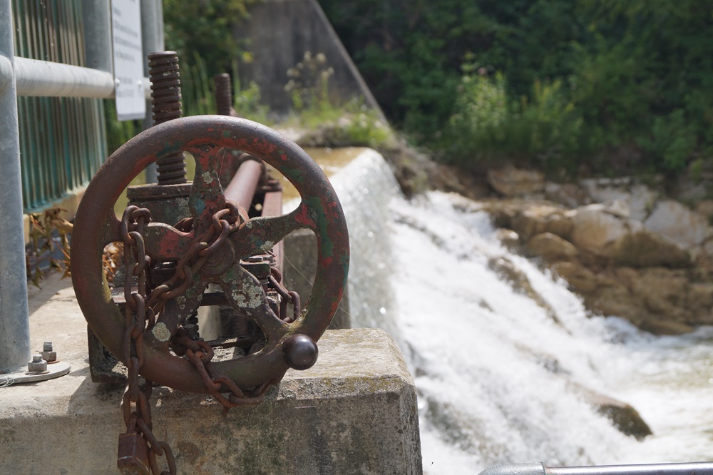
Long before Port Albert became a quiet lakeside retreat, the Nine Mile River was central to the community’s livelihood.
The river provided waterpower for local industries, while nearby Lake Huron offered transportation connections and opportunities for fishing and commerce. Sawmills and lumber operations were important parts of village life, and the surrounding agricultural countryside supported families and businesses.
Port Albert’s history was shaped by the relationship between the river, the lake, and the people who settled along their banks.
Lumber was particularly important. Logs could be processed at local mills and loaded aboard schooners, connecting a relatively small community to the wider Great Lakes economy.
The village was also a place of craftspeople, merchants, farmers, and families whose daily activities created a strong sense of community.
The historical recollections of Margaret Myers describe sawmill workers, blacksmiths, woodworking shops, and neighbours who regularly helped one another. Her memories remind us that the history of a place is not measured only by its buildings or industries, but also by the lives of those who called it home.
The Port Albert Fishway – Helping Nature Find Its Way
One of Port Albert’s most interesting attractions is the Port Albert Fishway, often called the fish ladder.
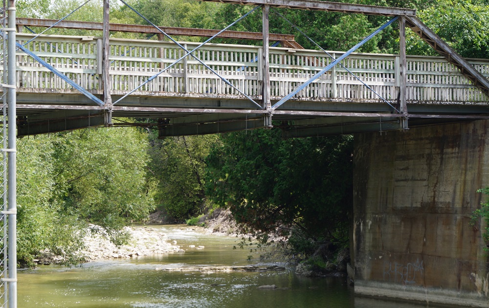
Located along the Nine Mile River near the village centre, the fishway allows migrating fish to move upstream past an obstruction associated with the historic mill dam.
The structure represents an important change in how the river is used. Where waterpower once supported local industry, the river now also serves as a focus for fish conservation, research, and environmental education.
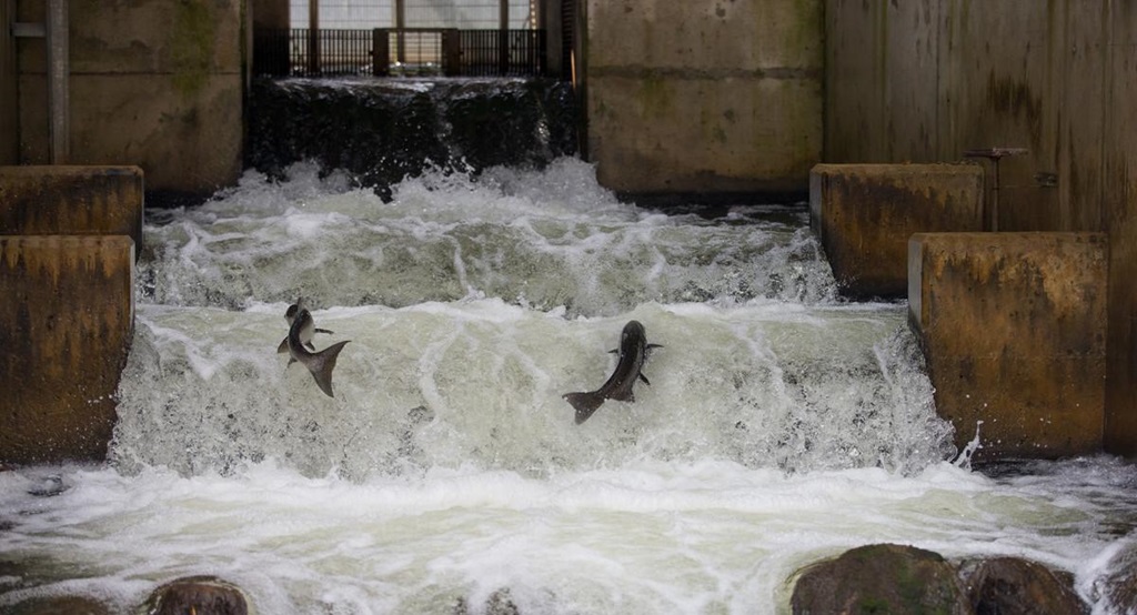
The fishway is designed to help trout and salmon travel upstream to spawning habitat. Ontario identifies it as a vertical-slot fishway, a design that allows fish to move through openings between sections of the structure.
A seasonal natural spectacle
During spring, rainbow trout, often called steelhead, make their way upstream. The best viewing opportunities are generally from late March into early May, with peak activity often occurring in the latter part of April.
Autumn brings another period of activity, with salmon and trout migrations occurring from September into November. Exact timing depends on water levels, temperatures, and other natural conditions.
The Nine Mile River Steelheaders, a volunteer conservation organization established in 1988, have played an important role in monitoring fish populations and supporting the health of the watershed.
For visitors, the fishway offers more than the possibility of watching fish jump. It provides an opportunity to appreciate the relationship between local history and modern conservation.
Interpretive displays near the fishway help explain the river’s natural and industrial heritage.