


Toronto • City of Toronto • Golden Horseshoe
Follow Queens Quay east or west and you move through 170 years of lake-fill history, Victorian grain silos, glass condo canyons, kayak coves, and boardwalk patios all layered on land the lake once owned.
Visitor Experience
📍 Location Queens Quay & York St.• Harbourfront
📅 Season/Best Time May–Oct •TallShips:Aug • Winter LightFest: Jan
⏰ Hours Waterfronttrail 24/7•Shops/arts 10-6
💲 Admission Promenade free • Galleryshows$0-$25
♿ Accessibility Level boardwalks • TTC low-floor street cars • Sensory quiet rooms
🅿️🚻 Amenities Underground parking • Public washrooms Pier 27 • Free Wi-Fi
🕒 Recommended Time Half-day stroll • Full-day with ferry
🌐 Contact waterfrontoronto.ca • 311 (Toronto)
What You Need to Know
Grab a day pass for the 509/510 streetcars, they run the lakefront loop faster than cars on summer weekends. Pack layers; the breeze off Lake Ontario is always ten degrees cooler than downtown.
Why Toronto’s Waterfront Belongs on Your Day-Trip List
Start at Harbourfront Centre, where indie craft markets share docks with dragon-boat crews. Stroll east and Sugar Beach’s pink umbrellas frame lake freighters like a Wes Anderson set; head west and The Bentway’s concrete canopies shade roller-skaters and art installations. Pop-up patios serve perch tacos beside slips where paddleboards launch at dawn. Condos rise behind you, yet loons sometimes beat kayaks to the Inner Harbour at sunrise—a reminder that nature never fully ceded the shoreline.
Fun Fact:
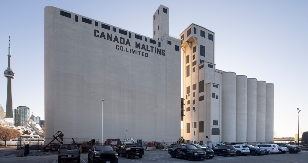
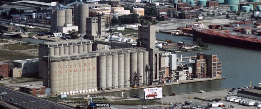
Everything south of Front Street is man-made fill. Toronto’s original 1850 waterfront sat where the CN Tower’s front doors stand today.
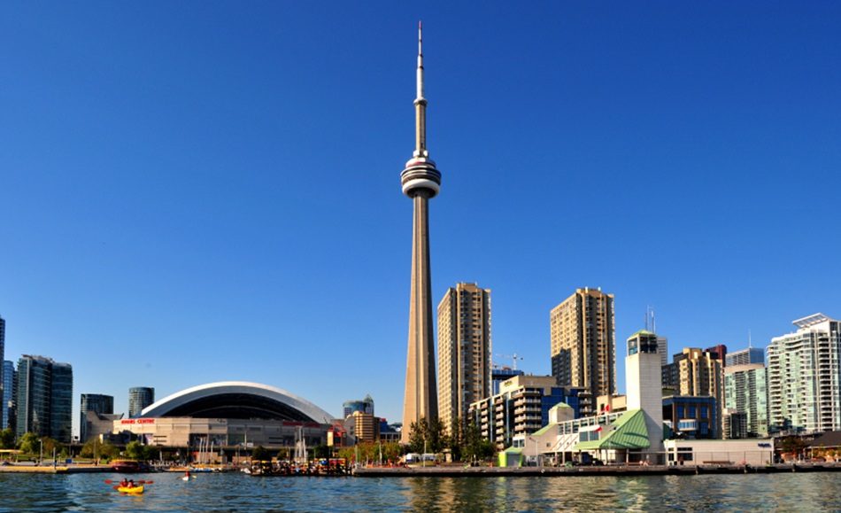
Toronto’s Waterfront, looking at the CN Tower and the Roger’s Centre